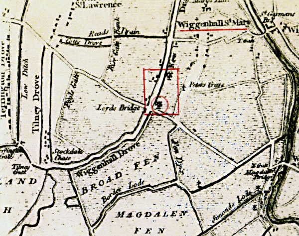
Faden's map 1797
Lord's Bridge mill circled with northern mill above
Lord's Bridge mill circled with northern mill above
Wiggenhall St Mary Lord's Bridge postmill |
Wiggenhall St Mary southernmost postmill stood at Lords Bridge to the south of the village on the northeast side of the crossroads. |
 |
Faden's map 1797 Lord's Bridge mill circled with northern mill above |
 |
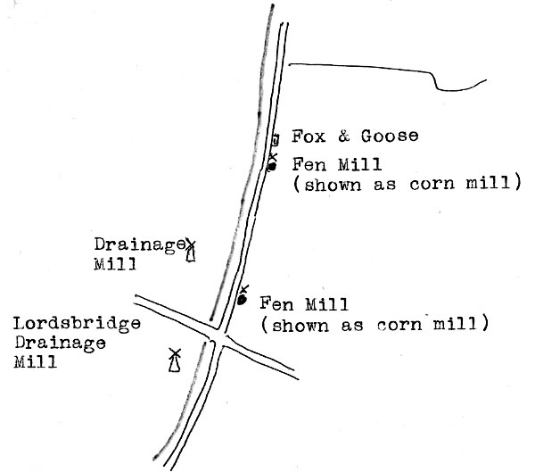
Utting's Marshland map 1826 - as redrawn by Harry Apling |
| Faden's map 1797: Windmill Utting's Marshland map 1826: Windmill |
| If you have any memories, anecdotes or photos please let us know and we may be able to use them to update the site. By all means telephone 07836 675369 or |
| Nat Grid Ref TF5720 1245 | Copyright © Jonathan Neville 2012 |